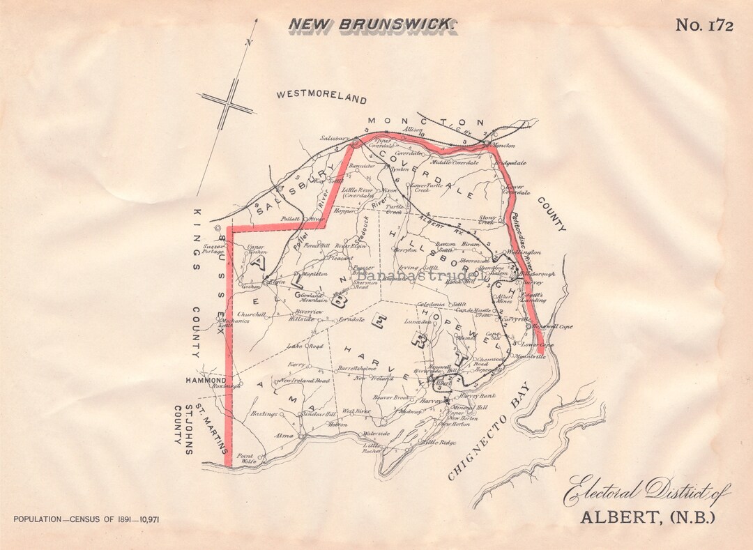
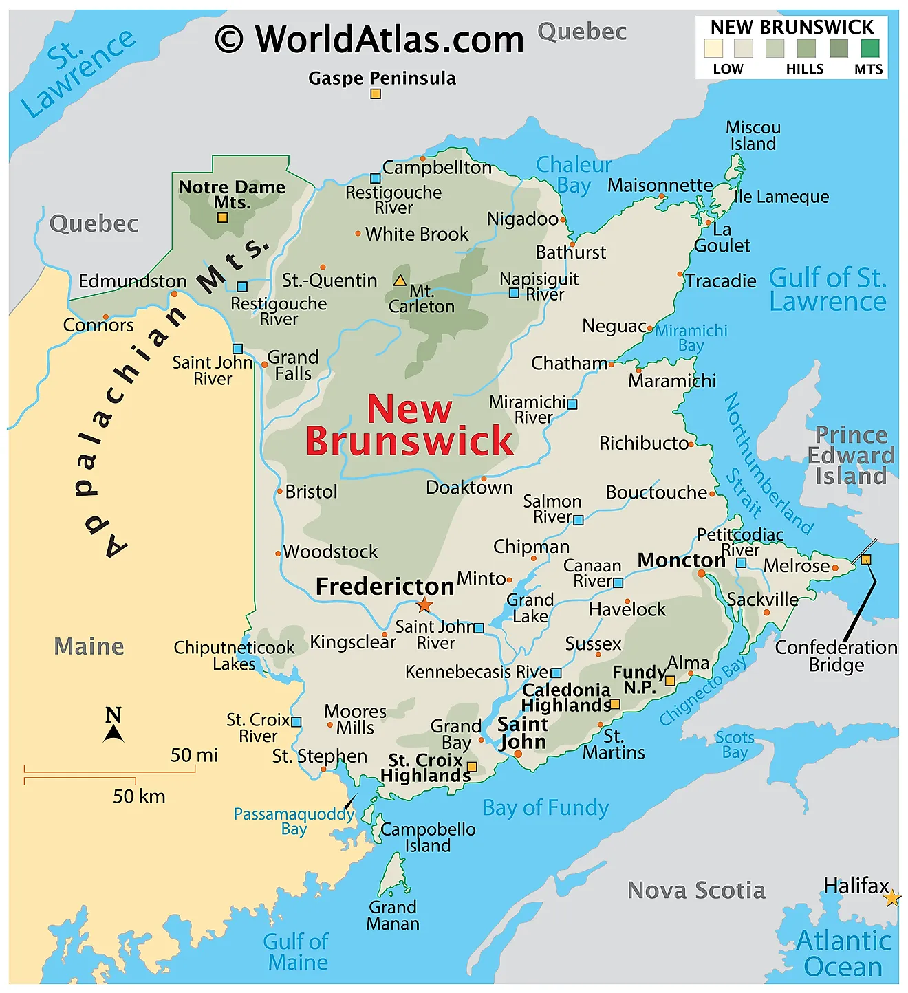
Albert County (2021 population 30,749) is New Brunswick's third-youngest county, located on the Western side of the Petitcodiac River on the Chignecto Bay in the Bay of Fundy; the shire town is Hopewell Cape. The county was established in 1845 from parts of Westmorland County and Saint John County, and named after Prince Albert. Since the abolition of county municipal governments in 1967, its best-known use is as a census division.
The mineral albertite was discovered a few miles away in 1849, giving rise to Albert Mines.
Census subdivisions
Municipalities
There are four municipalities within Albert County (listed by 2021 population):
Parishes
The county's six parishes serve as rural census subdivisions, which do not include the municipalities within them (listed by 2021 population):
Demographics
As a census division in the 2021 Census of Population conducted by Statistics Canada, Albert County had a population of 30,749 living in 12,913 of its 13,476 total private dwellings, a change of 5.5% from its 2016 population of 29,158. With a land area of 1,806.23 km2 (697.39 sq mi), it had a population density of 17.0/km2 (44.1/sq mi) in 2021.
Language
Access Routes
Highways and numbered routes that run through the county, including external routes that start or finish at the county limits:
Protected areas and attractions
- Fundy National Park
- Chignecto North
- Headquarters
- Point Wolfe
- Visitors Centre
- Hopewell Rocks
- Shepody National Wildlife Area
- Wilson Brook Natural Protected Area
- Cape Enrage
- Albert County Museum
Notable people
See also
- List of communities in New Brunswick
- Royal eponyms in Canada
Notes
References
External links
- Albert County Guide